A Python Implementation for Satellite Cloud Image Processing and Information Retrieval System
git clone https://github.com/ajwad-shaikh/CloudNine.gitcd CloudNinevirtualenv env"env/scripts/activate"pip install -r requirements.txt
This will install the necessary dependencies for the function scripts.
The Dataset was ordered from MOSDAC (Meteorological and Oceanographic Satellite Data Archival Centre) maintained and sourced from Indian Space Research Organization (ISRO) Kalpana Satellite's VHF Sensor. We have 603 satellite images in HDF5 format but due to the bulk size of the dataset, it has not been included in the repository.
To get the project to work, you need the complete or at least part of the database -
- Download the complete dataset from here -> dataset.zip (890 MB)
- You can then unpack the archive in
<project_root>/dataset - This will help you run the project full-fledged with the similar images displayed alongside query image from the validation set
- Download the validation set of images from here -> validation_set.zip (78 MB)
- You can then unpack the archive in
<project_root>/dataset/validation_set - This will help you run the project as MVP, but will only return image names of the matched images from train set instead of actual images.
The module contains different python programs that are interdependent for use in the project
-
- Contains basic file I/O functions, especially to deal with h5 type images as received from ISRO Database
-
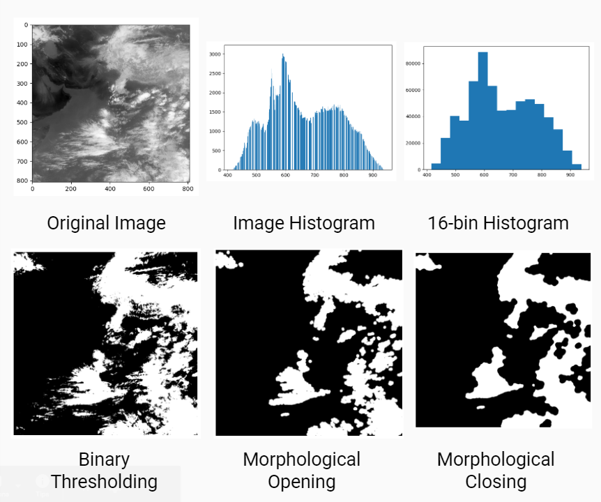
- Contains analysis functions such as histogram processing, shape and texture analysis to derive the required feature lists that we want to store
-
- Contains a function to process a single image as per algorithm in the paper and generate a feature object
-
- Contains script to calculate features of train set and upload the results to Firebase Realtime Database
-
- Contains search and compare functionality to query with validation images and get matching image from training set (feature database)
We have computed and uploaded features of all images in the training set (550 images) to a Firebase Realtime Database. You can view the feature database here -> Link to Database
The primary objective of the project was to evaluate features of cloud formation from a satellite image and then retrieve a similar cloud formation image from the training database. We have followed the implementation of feature retrieval algorithm as mentioned in Satellite Cloud Image Processing and Retrieval System (2012 World Congress on Information and Communication Technologies)
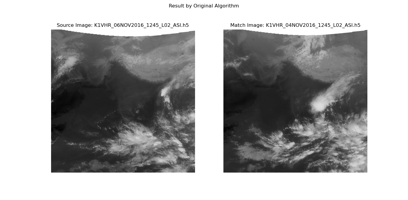
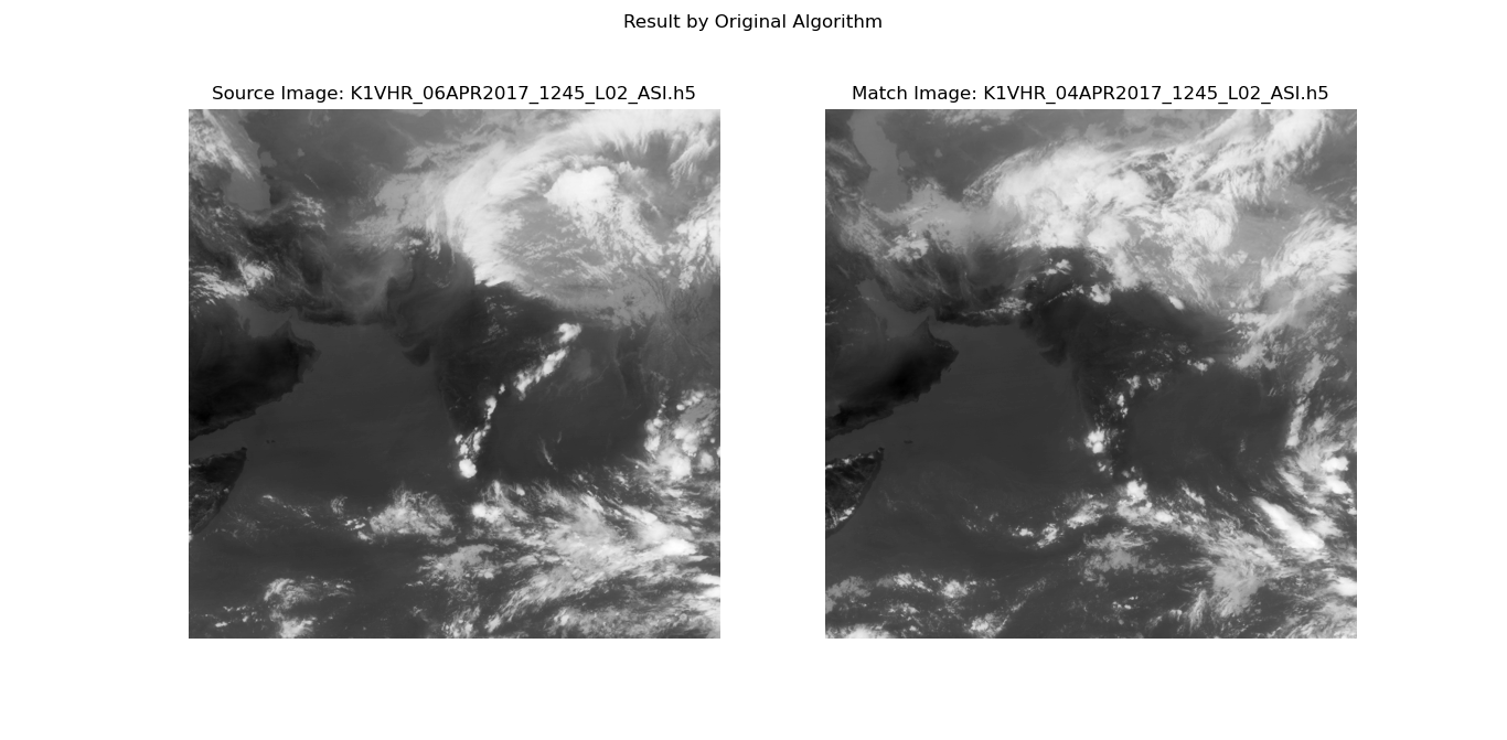
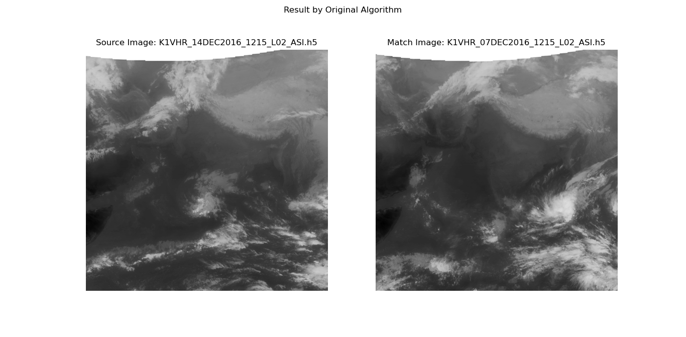
The Algorithm works very well as it takes into account three aspects of the image - Grey-level, Shape and Texture. However, in order to calculate similarity between the two images the formula given in the original image is as follows -
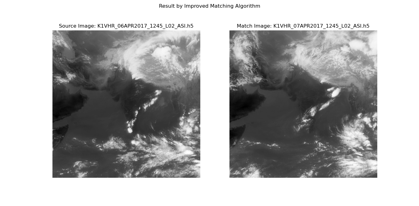
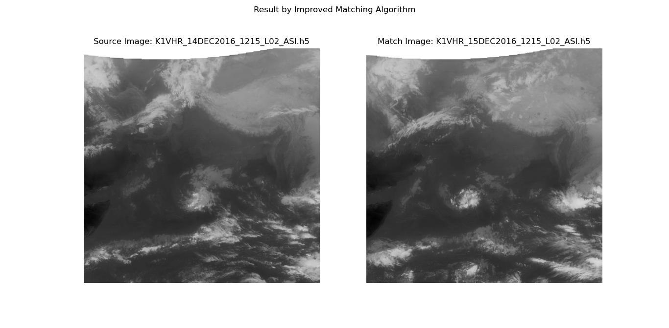
We have improved the formula to remove bias of the formula towards feature sets that have more number of values and also larger values. The new improved formula to calculate image similarity is as follows -
-
Case 1
-
Case 2
- Mentor - Dr. Pritee Khanna
- Team - Ajwad Shaikh and Kaushal Sharma
- Course - CS313a - Image Processing - Spring 2020
- Institute - Indian Institute of Information Technology, Design and Manufacturing, Jabalpur
- Project Licensed under The MIT License
